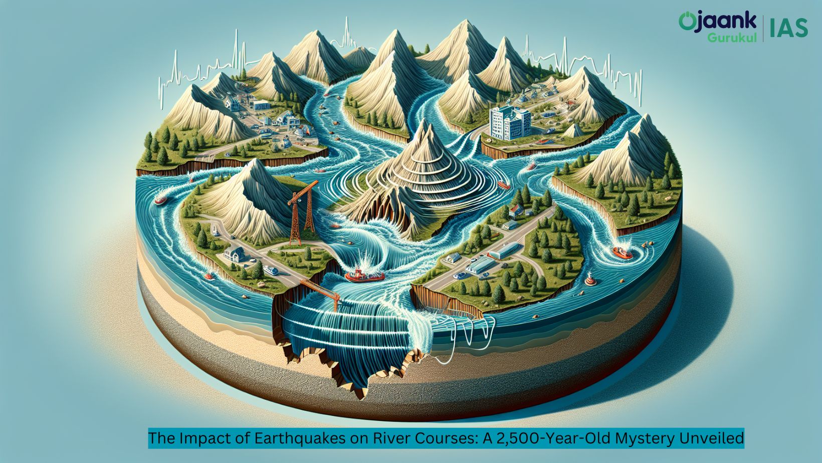
Impact of Earthquake on River Course

The Impact of Earthquakes on River Courses: A 2,500-Year-Old Mystery Unveiled
Table of Contents
Introduction
The impact of earthquakes on river courses has long fascinated geologists and hydrologists alike. A recent study suggests that an earthquake about 2,500 years ago might have dramatically altered the course of one of the world's most iconic rivers - the Ganges. This discovery not only sheds light on the powerful forces that shape our planet but also raises important questions about the future of river systems in seismically active regions.
Understanding Earthquakes and River Dynamics
What is an Earthquake?
An earthquake is a sudden and violent shaking of the ground, typically caused by the movement of tectonic plates beneath the Earth's surface. These seismic events can range from barely noticeable tremors to catastrophic upheavals that reshape entire landscapes.
The Relationship Between Earthquakes and Rivers
Rivers are dynamic systems that constantly evolve, but major seismic events can accelerate this process dramatically. Earthquakes can cause:
-
Landslides that dam rivers or alter their course
-
Ground subsidence or uplift that changes river gradients
-
Liquefaction of sediments, leading to riverbank collapse
The 2,500-Year-Old Earthquake: Uncovering the Evidence
Researchers have found compelling evidence suggesting that a major earthquake struck the Ganges basin approximately 2,500 years ago. This discovery was made through a combination of:
-
Geological surveys
-
Sediment analysis
-
Archaeological findings
-
Historical records and local legends
The study of ancient river beds and sediment layers revealed abrupt changes that could only be explained by a significant seismic event.
How Earthquakes Change River Courses
The Process of River Avulsion
One of the most dramatic ways an earthquake can impact a river is through avulsion - the rapid abandonment of a river channel and the formation of a new one. This process can occur when:
-
Seismic activity causes uplift or subsidence of the land
-
Landslides or debris flows block the existing channel
-
Ground shaking leads to liquefaction of river sediments
Case Studies of Earthquake-Induced River Changes
Several historical examples illustrate the power of earthquakes to reshape river systems:
-
The 1811-1812 New Madrid earthquakes in the United States, which caused the Mississippi River to flow backwards temporarily
-
The 1950 Assam-Tibet earthquake, which altered the courses of several Himalayan rivers
-
The 2008 Wenchuan earthquake in China, which created landslide dams on several rivers
The Ganges River: A Case Study
Evidence of Earthquake Impact on the Ganges
The recent study focusing on the Ganges River has uncovered several pieces of evidence suggesting a major seismic event:
-
Abrupt changes in sediment layers dating back to approximately 2,500 years ago
-
Traces of ancient river channels that were suddenly abandoned
-
Archaeological findings showing the relocation of settlements along the river
Significance of the Findings
These discoveries are significant for several reasons:
-
They provide insight into the long-term behavior of major river systems
-
They highlight the potential for sudden, dramatic changes in river courses
-
They underscore the need for comprehensive earthquake preparedness in densely populated river basins
Implications for Modern River Management
Increased Vulnerability of the Ganges-Meghna-Brahmaputra Delta
The study suggests that the Ganges and other rivers in the region are now more prone to avulsion due to:
-
Rapid subsidence caused by widespread embankment construction
-
Climate change-induced sea-level rise
-
Increased frequency of extreme weather events
Lessons for Future River Management
The insights gained from this ancient earthquake offer valuable lessons for modern river management:
-
The need for comprehensive seismic risk assessments in river basin planning
-
The importance of maintaining natural floodplains to accommodate potential river course changes
-
The development of early warning systems for potential avulsion events
Conclusion
The discovery of an earthquake's impact on the Ganges River 2,500 years ago serves as a powerful reminder of the dynamic nature of our planet. As we continue to study and understand these processes, we can better prepare for the challenges that lie ahead in managing our vital river systems in the face of both natural and human-induced changes.